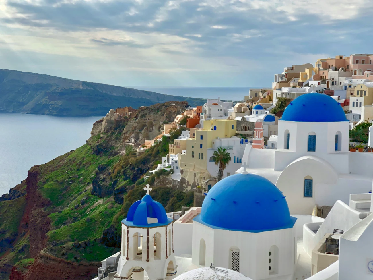
Santorini is shaped like nowhere else in the Cyclades, a great crescent wrapped around a flooded volcanic crater, with clifftop towns on the caldera edge and dark volcanic beaches down the far coast. Because the island is built around that crater, knowing where each town, port and beach sits makes a real difference. This Santorini map puts it all in one view, from Fira and Oia on the caldera rim to the black sand beaches at Kamari and Perissa.
Click any pin on the map to see photos, a short description and a direct link to the full guide for that spot. You can also switch the layers on and off to show just the caldera villages, just the beaches, or just the roads.
Interactive Santorini map
The map above shows every place we cover on Santorini. Below you will find the same places written out by area, so you can read through them and click straight to the guide for anywhere that interests you.
The ports and how the island is laid out
Santorini has two ports, and they work very differently. The main ferry port is Athinios, on the west coast below the cliffs, where all the car ferries and fast boats arrive. The Old Port, directly below Fira, is only for the small cruise tenders and the boat trips into the caldera, reached by cable car or the zigzag donkey path. To plan your arrival, see how to get to Santorini.
The island is easy to picture once you know the shape. The caldera edge runs down the west side, and this is where the famous towns sit in a line: Oia at the northern tip, then Imerovigli, Firostefani and Fira the capital. The land then slopes down to the east and south, where the volcanic beaches and the flatter inland villages are. For the full picture, see our main Santorini guide.
The caldera villages on the map
The caldera towns are the reason most people come, strung along the cliff edge with the crater views. Fira, the capital, is the busy hub, with the cable car down to the Old Port and the landmark Three Bells of Fira church. Just north are Firostefani and Imerovigli, quieter and higher on the rim, and at the far north end sits Oia, the most famous village of all, known for its blue domes and its sunset.
Away from the caldera, the island has a set of calmer inland villages: hilltop Pyrgos, the wine village of Megalochori, the largest inland village of Emporio, and Akrotiri near the famous Minoan ruins. Karterados and Vothonas sit close to Fira. For more, see our guide to the best villages on Santorini.
Beaches on the map
Santorini’s beaches are unlike anywhere else, made of black, red and white volcanic rock, and they lie on the east and south coasts, away from the caldera. The long black sand beaches of Kamari and Perissa, with Perivolos beyond, are the main resort beaches. Near Akrotiri in the south are the striking Red Beach and White Beach, reached on foot or by small boat.
There is also Vlychada with its sculpted pale cliffs, the quiet Monolithos on the east coast, Kambia, and down below Oia the little harbour of Amoudi Bay, famous for its seafood tavernas. See them all on the full Santorini beaches guide.
Things to do on the map
The great sight of Santorini is the caldera itself, the flooded volcano you can sail across on a boat trip to the smoking volcanic islets and hot springs in the middle. On land, Akrotiri holds the remains of a Minoan town buried by the ancient eruption. Santorini is also one of Greece’s great wine islands, with wineries and wine tastings and cheese tasting and making experiences, along with a set of caves. For the best sunset spots and photo times, see the Santorini photography guide, and check the Santorini weather before you travel.
Getting around Santorini
Once you can see how the island is laid out, planning your days is easier. A bus network runs from Fira, the hub, out to Oia, Kamari, Perissa and the main villages, though it gets very busy in high season. Many visitors hire a car or quad, but the caldera towns have narrow lanes and limited parking, so it is worth planning around that. For full details see our guides to getting around Santorini, the Santorini bus timetable and Santorini taxi and car rental.
Explore more of Santorini
Now that you can see how the island fits together, open the full guides for the places that catch your eye. Start with the main Santorini guide, browse the beaches and villages, or plan how you will reach the island on our ferry page. To see how Santorini connects to the rest of the group, use the full Greek islands map.
Which port will my ferry arrive at on Santorini?
The main ferry port is Athinios, on the west coast below the cliffs, where all the car ferries and fast boats dock. The Old Port below Fira is only for small cruise tenders and caldera boat trips. On the map you can see Athinios set apart from the towns, which is why a transfer or bus meets the ferries.
Where is Oia on the map, and how far is it from Fira?
Where are the beaches on the Santorini map?
Where is the best sunset on the map?
Oia at the northern tip is the most famous sunset spot, though it gets very crowded. Imerovigli and Fira along the caldera edge also have superb sunset views with fewer people. On the map, the whole west facing caldera rim looks out over where the sun goes down.
Do you need a car on Santorini?
Not necessarily. The island is small and the bus network from Fira reaches the main towns and beaches, though it is crowded in summer. A car or quad helps for the quieter inland villages and southern beaches, but parking in the caldera towns is limited. The map shows how close the main towns sit along the rim.