
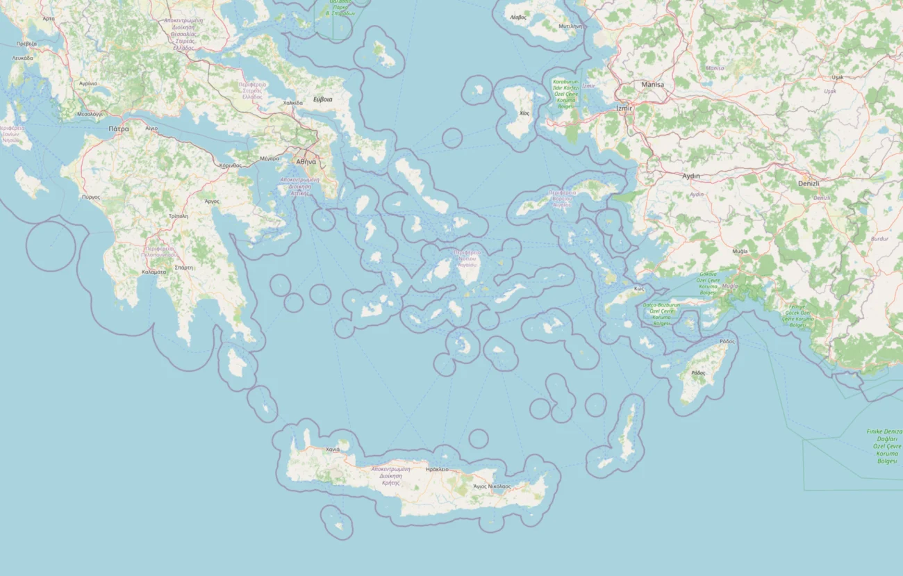
Planning a trip to the Greek islands is far easier once you can see where everything actually is. This interactive Greek islands map shows all 15 Cyclades islands we cover, along with the main ferry routes, ports and airports that link them together. Use it to work out which islands sit close to each other, how you might travel between them, and where to base yourself.
Table of Contents
The Cyclades sit in the middle of the Aegean Sea, south east of Athens. On a normal map they can look like a random scatter of dots, but there is a logic to how the ferries connect them. Once you understand that, planning a sensible route becomes much simpler. Click any island on the map to see a short description and a link through to its full guide.
Interactive Map of the Cyclades
Click on any island to open its guide. You can switch the layers on and off to show just the islands, just the ferry routes, or the ports and airports. The lines between islands show the main summer ferry connections, so you can see at a glance which hops are quick and which need a longer crossing.
Where each Cyclades island sits
The Cyclades split roughly into a few natural clusters, and knowing them helps you plan. The western islands sit closer to the Athens ports and to each other. The central islands form the busy heart of the group, with the most ferry traffic. The far islands take longer to reach but reward you with fewer crowds.
Here is every island on the map, grouped by where it sits, with a link to its full guide.
The central Cyclades
These are the most visited islands and the easiest to combine, because ferries run between them all day in summer.
Santorini sits at the southern edge of the central group. It is the most famous island, built around a flooded volcanic caldera, and it has its own airport and a busy ferry port at Athinios.
Mykonos sits to the north east. It has an airport and a busy port, and it is the main gateway to the sacred island of Delos nearby.
Naxos is the largest island in the Cyclades and sits right in the middle, which makes it one of the best bases for island hopping. It has an airport and a large ferry port.
Paros sits just west of Naxos, so close that the two are easy to pair. Paros is a major ferry hub with connections to almost every other island, plus its own airport.
Ios lies between Naxos and Santorini, which makes it a natural stop on the popular route south towards the caldera.
Koufonisia is one of the small islands just east of Naxos, reached by smaller local ferries. It is tiny, so it is best added on to a trip rather than used as a base.
Amorgos sits at the far south eastern edge of the group. It feels remote and takes longer to reach, which is part of its appeal.
The western Cyclades
These islands sit closer to the Athens ports and form their own quieter cluster, well suited to a slower trip.
Milos sits at the south western corner. It has an airport and dramatic volcanic scenery, and it links well with the other western islands.
Sifnos sits north of Milos and is easy to combine with it. It is known for its food and its walking paths.
Serifos is the next island north from Sifnos, quiet and rugged, with a striking hilltop main town.
Kythnos sits closest to Athens of all the islands here, which makes it a quick and easy escape from the mainland.
Folegandros sits between the western islands and Santorini. It is small and dramatic, with a famous clifftop old town.
The northern Cyclades
These islands sit closer to the port of Rafina near Athens and stay quieter and more traditional than the central group.
Syros is the administrative capital of the Cyclades and a real working island that lives all year. Its grand main town, Ermoupoli, is unlike anywhere else in the group.
Tinos sits just north of Mykonos and is famous for its pilgrimage church and its many stone villages.
Andros is the most northerly island we cover, closest to Rafina, and it has the best network of walking trails in the Cyclades.
How to use the map for island hopping
The single most useful thing this map does is show you which islands are close together. That matters more than anything else when you plan a route, because time spent on ferries is time not spent on the islands.
A few things become obvious once you look at the map. Naxos and Paros are so close that pairing them is the easiest trip in the Cyclades. Santorini and Mykonos sit at opposite ends of the central group, so joining just those two means a longer crossing and a fair bit of travel time. The western islands, Milos, Sifnos and Serifos, form their own neat chain that is easy to travel along.
Our advice is to pick islands from the same cluster for most of your trip, then add one bigger name if you want it. For example, base yourself around Naxos and Paros, then take a ferry down to Santorini for the last few nights. To see the actual ferry times, routes and prices, use our ferry page. For a fuller plan, read our guide to choosing which Cyclades island to visit.
Which Cyclades islands have airports?
Five islands in the Cyclades have their own airport, which is useful to know when planning how you arrive. Santorini, Mykonos, Naxos, Paros and Milos all have airports with flights from Athens, and in summer some take direct international flights too.
Every other island is reached by ferry. Most ferries leave from Piraeus, the main port of Athens, or from Rafina, which is closer to Athens airport and often quicker for the northern islands like Andros and Tinos.
Getting to the Cyclades from Athens
Almost every Cyclades trip starts in Athens. The city has two ferry ports. Piraeus is the largest and busiest, with the widest choice of routes to the islands. Rafina is smaller, sits closer to Athens International Airport, and is often the faster option for the northern and western islands.
From these ports, fast ferries reach the closer islands in a couple of hours, while the slower, cheaper car ferries take longer but cost less. If you would rather fly, the five islands with airports are quickly reached from Athens in around 40 minutes. Once you are on the islands, the ferry network takes over and moves you between them.
Start planning your trip
Now that you can see where each island sits, the next step is to pick a shortlist. Open the full guide for any island that catches your eye, compare the beaches and villages, then use the ferry page to link them into a route. Keep it simple, choose islands that sit near each other, and give yourself time to enjoy the slow pace that makes the Cyclades special.
Frequently asked questions
How many islands are in the Cyclades?
There are around 2,200 islands and islets in the Cyclades, but only about 24 are inhabited. Most visitors focus on a much shorter list, and this map covers the 15 islands that are best set up for a holiday.
Which Greek islands are connected by ferry?
Almost all the Cyclades are connected by ferry in summer, with the busiest routes running between the central islands like Naxos, Paros, Mykonos and Santorini. The smaller islands have fewer sailings, so it is worth checking times before you plan a route. Our ferry page shows the main connections.
Which Cyclades islands are closest together?
What is the best island to use as a base?
How do I plan a Cyclades island hopping route?
Start by choosing two or three islands from the same cluster on the map, then add one bigger name if you want it. Keep the crossings short where you can, and leave enough nights on each island to actually relax. For a fuller guide, see our page on which Cyclades island to visit and check routes on the ferry page.