Most people come to Milos for its beaches. The turquoise coves, the technicolour cliffs and the warm Aegean light are more than enough reason to book a flight. But underneath all that beauty lies something far older and far more powerful. Milos is, at its very core, a volcano. The whole island grew out of the sea because of volcanic eruptions. Every white cliff face, every warm patch of sand, every sulphur-scented breeze is a reminder that the earth here is very much alive.
Volcanic activity on Milos began roughly 3.5 million years ago and the most recent eruption took place around 90,000 years ago. Scientists at the Smithsonian Institution’s Global Volcanism Program still classify Milos as a dormant stratovolcano, not an extinct one. That distinction matters. Fumaroles still hiss near Kalamos. The sand at Paleochori beach is warm to the touch because of geothermal heat rising from below. Submarine gas bubbles tickle swimmers at Gerakas. Milos is resting, not finished.
This guide covers the best volcanic sites and calderas on the island, including where to find them, how to reach them, and what to bring so your visit is both safe and unforgettable.
Table of Contents
1. The Fyriplaka Caldera
Volcano Information
The Fyriplaka caldera is the single most impressive volcanic feature you can stand inside on Milos. It sits in the southern part of the island and represents the most recent phase of subaerial volcanic activity, dating to between 480,000 and 90,000 years ago during the Middle to Upper Pleistocene period. The crater measures 1,700 metres in diameter and drops to a depth of roughly 200 metres, making it clearly visible even on satellite images.
What makes Fyriplaka so fascinating is the layered story written into its walls. As you stand at the rim and look inward, you can see alternating bands of ash, volcanic sand, and rhyolitic perlite fragments stacked on top of each other like pages in a geological diary. Some layers were deposited underwater, evidence that the volcano was submerged during parts of its life. Others are products of dry land eruptions. The entire sequence shifts back and forth between sea and sky, a timeline carved in stone.
The area around the crater also contains fumaroles and solfataras, places where volcanic gases still escape from the ground. Yellow crystals of native sulphur form at the vents where hydrogen sulphide oxidises in the open air. This is not a dead place. It is a quietly breathing one.
Location
Fyriplaka sits in the south central part of Milos, inland from the southern coastline near Fyriplaka Beach and not far from the village of Zefiria. The crater rim is visible from the road and is one of the key stops on the officially marked Miloterranean Geo Walk Route 2, known simply as the Volcano Route.
How to Get There
From Adamas, the island’s main port town, head south on the main road towards the southern coast. The journey takes roughly 25 to 30 minutes by car. The road passes through the island’s interior before reaching a dirt track section that leads toward the crater. A four wheel drive vehicle is strongly recommended for the final stretch, particularly if you plan to explore the crater rim fully. If you do not have a four wheel drive, parking at the tarmac edge and walking in on foot is possible but adds distance and effort.
The Milos Mining Museum in Adamas provides printed Geo Walk guides that include GPS waypoints and route directions for reaching Fyriplaka. Picking up a copy before you set off is a very good idea.
Safety and Things to Carry
- ✅ Sturdy, closed toe walking shoes with good grip the crater rim is uneven and loose in places
- ✅ Plenty of water there is no shade and no facilities near the crater
- ✅ Sun protection hat, sunscreen and sunglasses are essential in summer months
- ✅ Stay well back from fumarole vents gas concentrations of carbon dioxide above 90% and hydrogen sulphide up to 2,000 parts per million have been recorded in this area, which can be extremely hazardous in enclosed hollows
- ✅ Do not visit alone bring a companion and let someone know your plans
- ✅ A light jacket for windier days, as the rim is fully exposed
2. The Gulf of Milos The Island’s Hidden Mega Caldera
Volcano Information
Here is a fact that changes the way you look at Milos the moment you hear it. The large, sheltered bay that you see when you first arrive by ferry is not just a naturally shaped harbour. The Gulf of Milos, also called Milos Bay, is believed to be the remnant of the island’s primary volcanic collapse structure. In other words, the harbour itself is the hollow of the principal crater. The sea filled it. The port town of Adamas sits at its edge.
This gives the entire island a perspective shift. When you look out from the waterfront in Adamas towards the open bay, you are looking into what was once the heart of a volcanic system that built the island from the seabed upward. Underwater, volcanic gas emissions are still present along parts of the bay’s coastline, a reminder that the geothermal system beneath Milos remains active. The water temperature in certain parts of the gulf is noticeably warmer than average Aegean temperatures, particularly near the eastern shore.
This is not a site you climb into or explore on foot in the traditional sense. It is better experienced from the waterfront, by boat, or from elevated viewpoints in the hilltop village of Plaka, which offers sweeping views across the entire caldera bay.
Location
The Gulf of Milos occupies the northern and central part of the island. Adamas sits at the southeastern edge of the bay. The hilltop village of Plaka and the ancient ruins at Tripiti offer the best elevated vantage points for appreciating the scale of the structure.
How to Get There
Every visitor who arrives at Milos by ferry lands directly on the edge of this caldera. From the port, a short walk or taxi ride takes you up to Plaka in roughly 10 minutes. From the castle at the top of Plaka, you can look out across the entire bay and begin to understand its volcanic origin. For the best views of the caldera and the wider island geology, visit the Milos Mining Museum first, as the displays there put everything into context beautifully.
Safety and Things to Carry
- ✅ Comfortable walking shoes for the uphill paths in Plaka
- ✅ Camera or binoculars for the panoramic view from the castle
- ✅ If taking a boat trip in the bay, be aware of reported underwater gas emissions along some sections of the eastern shore
- ✅ Always follow any local signage regarding swimming restrictions near hydrothermal areas
3. Kalamos Active Fumaroles and Volcanic Drama
Volcano Information
Kalamos is perhaps the most viscerally volcanic place you will visit on Milos. Located on the southern coast near the Fyriplaka volcanic complex, Kalamos is where the earth really does remind you it is still doing something. Active fumaroles here release gases at temperatures reaching 98 to 102 degrees Celsius. Yellow sulphur crystals crust the rocks around the vents. The smell of hydrogen sulphide hangs in the air. Old kaolin mining galleries are cut into the hillside, a testament to the intense hydrothermal alteration that turned volcanic rock into soft, white clay over thousands of years.
The vegetation around Kalamos is noticeably stunted compared to the rest of the island. The acidity of the soil, caused by the escaping gases, suppresses plant growth in a way that makes the landscape feel slightly post-apocalyptic. It is dramatic, strange and genuinely memorable.
Scientists continue to monitor gas emissions at Kalamos as part of ongoing studies of the Milos geothermal system. The data collected here feeds into broader understanding of volcanic risk in the Southern Aegean.
Location
Kalamos is situated on the southern coast of Milos, at the southernmost point of the Miloterranean Geo Walk Route 2. It lies to the west of Fyriplaka beach and can be reached via the same dirt track network that serves the Fyriplaka caldera.
How to Get There
From Adamas, follow the route south towards Fyriplaka as described above. Kalamos is reached at the end of the southern stretch of Geo Walk Route 2. The track passes through the crater area of Fyriplaka before descending to the coast at Kalamos. The full route is approximately 13 kilometres and a four wheel drive vehicle is strongly recommended. Allow a full half day for the round trip.
Safety and Things to Carry
- ✅ Do not approach active fumarole vents closely gas concentrations can be lethal in low lying areas and depressions where CO₂ accumulates
- ✅ Keep children away from vent openings they are shorter and therefore more exposed to heavier volcanic gases that collect near the ground
- ✅ Never enter abandoned mining tunnels roofs have collapsed and gas accumulation inside can be fatal without specialist equipment
- ✅ Bring water, sun protection, and good footwear as described for Fyriplaka above
4. Trachilas (Trachylas) Volcanic Complex
Volcano Information
On the northern side of Milos, the Trachilas volcanic complex mirrors the Fyriplaka caldera in age and character, both formed during the Middle to Upper Pleistocene period between approximately 480,000 and 90,000 years ago. Trachilas is a rhyolitic lava and pumice cone complex, and while it receives fewer visitors than the more accessible Fyriplaka, it is no less impressive from a geological standpoint.
The rocks at Trachilas are composed of rhyolitic pumice deposits and lavas containing quartz and biotite crystals. The landscape here has a rougher, less worn quality than Sarakiniko’s polished white forms, and the views out over the northern Aegean coastline from the elevated sections of the complex are outstanding.
Location
Trachilas sits in the northern part of Milos, on the opposite side of the island from Fyriplaka. It is more remote and less signposted than other volcanic sites, which makes it more rewarding for those willing to seek it out.
How to Get There
A four wheel drive vehicle is essential. Head north from Adamas through the villages of Pollonia or Pachena and follow local tracks toward the northern coast. The Milos Mining Museum Geo Walk maps include guidance for reaching this area. Speaking with the museum staff or hiring a local guide familiar with the terrain is highly recommended for this particular site.
Safety and Things to Carry
- ✅ Four wheel drive vehicle and offline maps downloaded before you leave
- ✅ Full water supply for the day no facilities exist in this area
- ✅ A local guide is strongly advised for first time visitors
5. Sarakiniko A Volcanic Landscape Like No Other
Volcano Information
Sarakiniko is not a crater or a fumarole field. It is something even more visually arresting: a coastline sculpted entirely from ancient volcanic ash and pumice flows, worn smooth over millions of years by wind, rain, and waves. The result is a blinding white lunar landscape that drops straight into the most vivid blue water you have ever seen. It is consistently rated one of the most photographed places in the entire Aegean.
The white rock here is a rhyolitic pyroclastic deposit, essentially compressed volcanic ash. Alternating layers of pumice tuffs, pale yellow fossiliferous limestones, and diatomite tell the story of a coastline that was repeatedly submerged and re-emerged as volcanic activity shaped and reshaped the land. Walking across Sarakiniko is walking on the surface of ancient eruptions, layered one on top of another across geological time.
Location
Sarakiniko is on the northern coast of Milos, approximately 5 kilometres northeast of Adamas. It is also the endpoint of Miloterranean Geo Walk Route 6, which begins at the coastal settlement of Aghios Konstantinos.
How to Get There
From Adamas, take the coastal road north for approximately 10 minutes by car. There is a car park near the site from which a short, signposted path leads to the rock formations. A regular bus service connects Adamas and Plaka to the Sarakiniko area, though schedules are limited outside the main tourist season so checking times in advance is advisable. The Geo Walk route from Aghios Konstantinos is 4.5 kilometres and suitable for walkers of average fitness.
Safety and Things to Carry
- ✅ Non-slip footwear is essential the white rock becomes dangerously slippery when wet
- ✅ Sun protection there is almost no shade anywhere along this coastline
- ✅ Plenty of water particularly in July and August when temperatures regularly exceed 30 degrees Celsius
- ✅ Stay on established paths and avoid standing near fragile overhanging edges
- ✅ Be cautious near the water’s edge when sea conditions are rough
Practical Tips for Exploring Milos’ Volcanic Sites
Before you set off to any of these sites, a visit to the Milos Mining Museum in Adamas is absolutely the best way to prepare. The museum covers three floors and includes geological maps, mineral displays, and printed Geo Walk guides for all seven marked routes across the island. The staff are knowledgeable and genuinely enthusiastic about helping visitors understand what makes Milos so special.
The best months to explore the volcanic landscape are May, early June, September and October. The summer heat in July and August can be genuinely punishing on exposed rocky terrain, and many of the volcanic sites offer no shade whatsoever.
For the more remote sites at Fyriplaka, Kalamos and Trachilas, hiring a four wheel drive vehicle from one of the rental agencies in Adamas is not optional, it is necessary. Taxis can reach the main roads but the dirt tracks require proper off road capability.
Always carry more water than you think you need. Always wear sun protection. And always tell someone your plans before heading into the more remote southern and northern parts of the island.
Final Thoughts
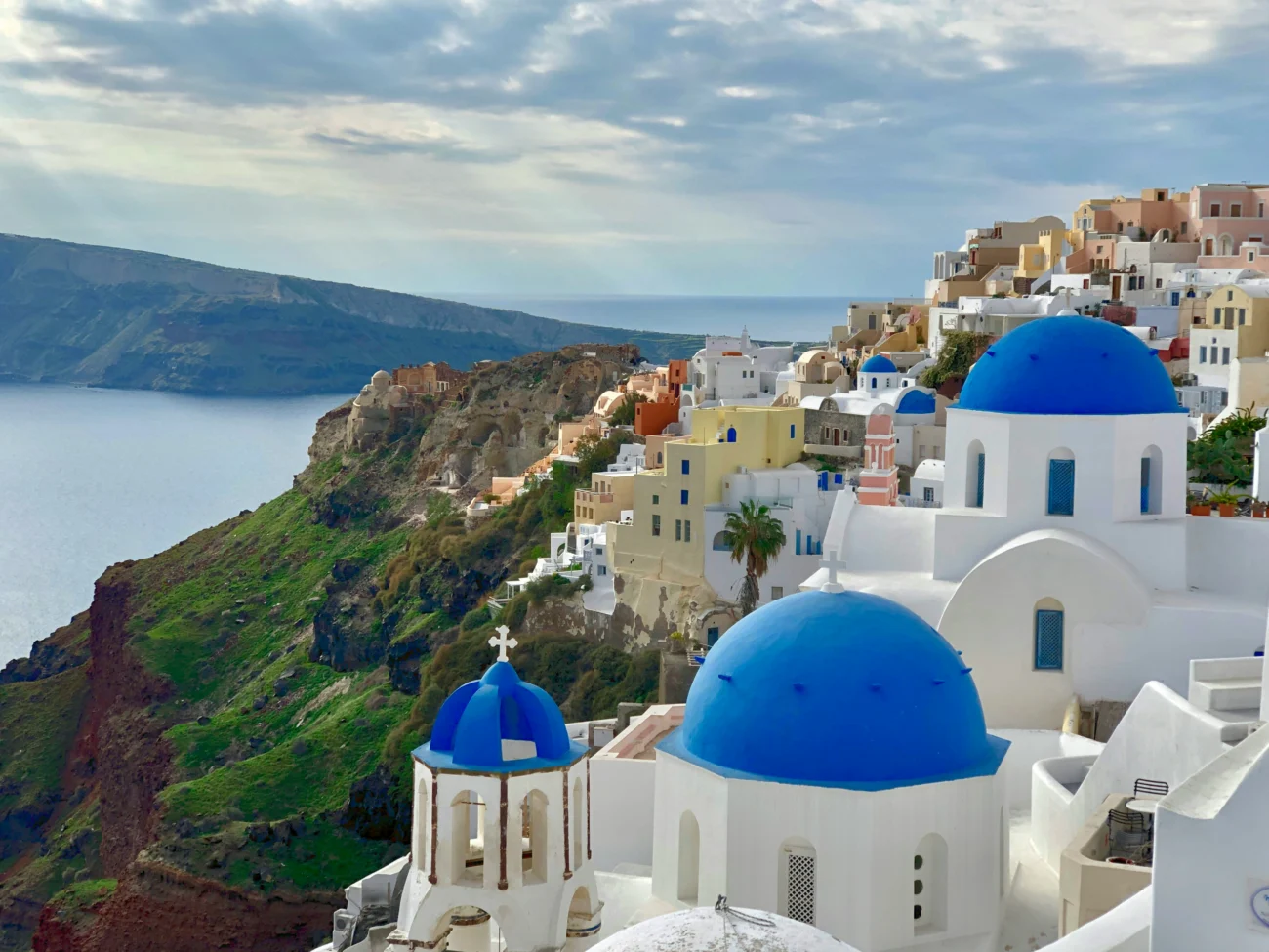
Milos does not shout about its volcanic heritage the way Santorini does. There are no caldera edge restaurants or cable cars. What Milos offers instead is something far more raw and far more honest: the actual geology, right there beneath your feet, still breathing, still warm, still forming the landscape around you in real time.
From the vast hollow of Fyriplaka to the steam-laced rocks at Kalamos, from the ancient caldera of the harbour bay to the lunar white shores of Sarakiniko, Milos is one enormous open-air volcanic museum. And unlike most museums, this one has the best beaches in Greece attached to it.
Come prepared, move slowly, and pay attention. The island rewards those who do.